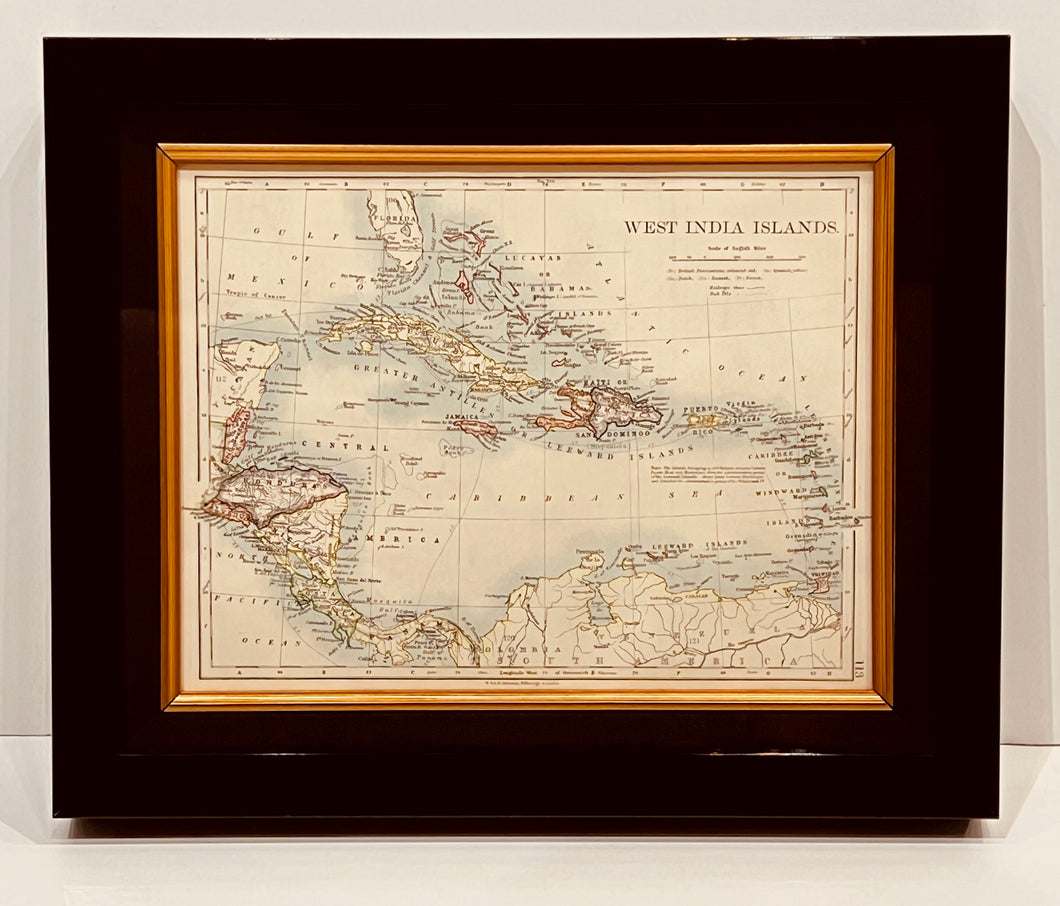
Beautiful original map from ' The Handy Royal Atlas of Modern Geography ' by the late Alexander Keith Johnston, with additions and corrections by G.H. Johnston. Published by W. & A.K. Johnston, Limited, London.
A little treasure which is 112 years old!
Measures approx. 14 1/8" x 11 5/8" x framed.